COL_ADM1 gbOpen #4190
Merged
COL_ADM1 gbOpen #4190
Conversation
This file contains hidden or bidirectional Unicode text that may be interpreted or compiled differently than what appears below. To review, open the file in an editor that reveals hidden Unicode characters.
Learn more about bidirectional Unicode characters
|
Hello! I am the geoBoundary Bot, and I just did an initial check on your submitted files. |
Sarangaban
approved these changes
Dec 20, 2024
Collaborator
 Sarangaban
left a comment
Sarangaban
left a comment
There was a problem hiding this comment.
Great job Elizabeth!
Closed
Sign up for free
to join this conversation on GitHub.
Already have an account?
Sign in to comment
3 participants
Add this suggestion to a batch that can be applied as a single commit.
This suggestion is invalid because no changes were made to the code.
Suggestions cannot be applied while the pull request is closed.
Suggestions cannot be applied while viewing a subset of changes.
Only one suggestion per line can be applied in a batch.
Add this suggestion to a batch that can be applied as a single commit.
Applying suggestions on deleted lines is not supported.
You must change the existing code in this line in order to create a valid suggestion.
Outdated suggestions cannot be applied.
This suggestion has been applied or marked resolved.
Suggestions cannot be applied from pending reviews.
Suggestions cannot be applied on multi-line comments.
Suggestions cannot be applied while the pull request is queued to merge.
Suggestion cannot be applied right now. Please check back later.
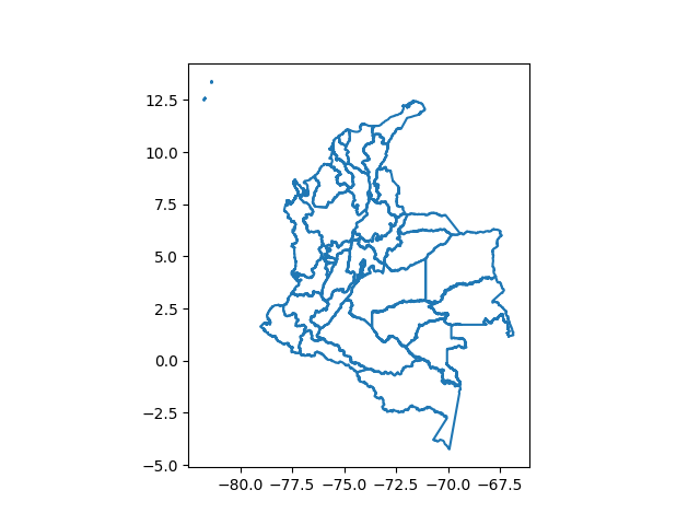
Boundary data for COL-ADM1 submitted through the geoBoundaries contribution form.
Name: Elizabeth Ott.
Affiliation: geoBoundaries.
Contact: [email protected] files validated before they are uploaded to GitHub? Are there protections to ensure that the only expected file types/content can be uploaded?
Notes about these data: As of 2024, there is an area of dispute between the Huila and Cauca departments. This area was once part of the La Plata municipality, which is part of the Huila department. I merged the area of dispute back into the Huila province because the disputed area does not have a corresponding ISO code.