| title | Go2 Navigation Overview |
|---|---|
| description | Live column-carving navigation and premap relocalization for the Unitree Go2. |
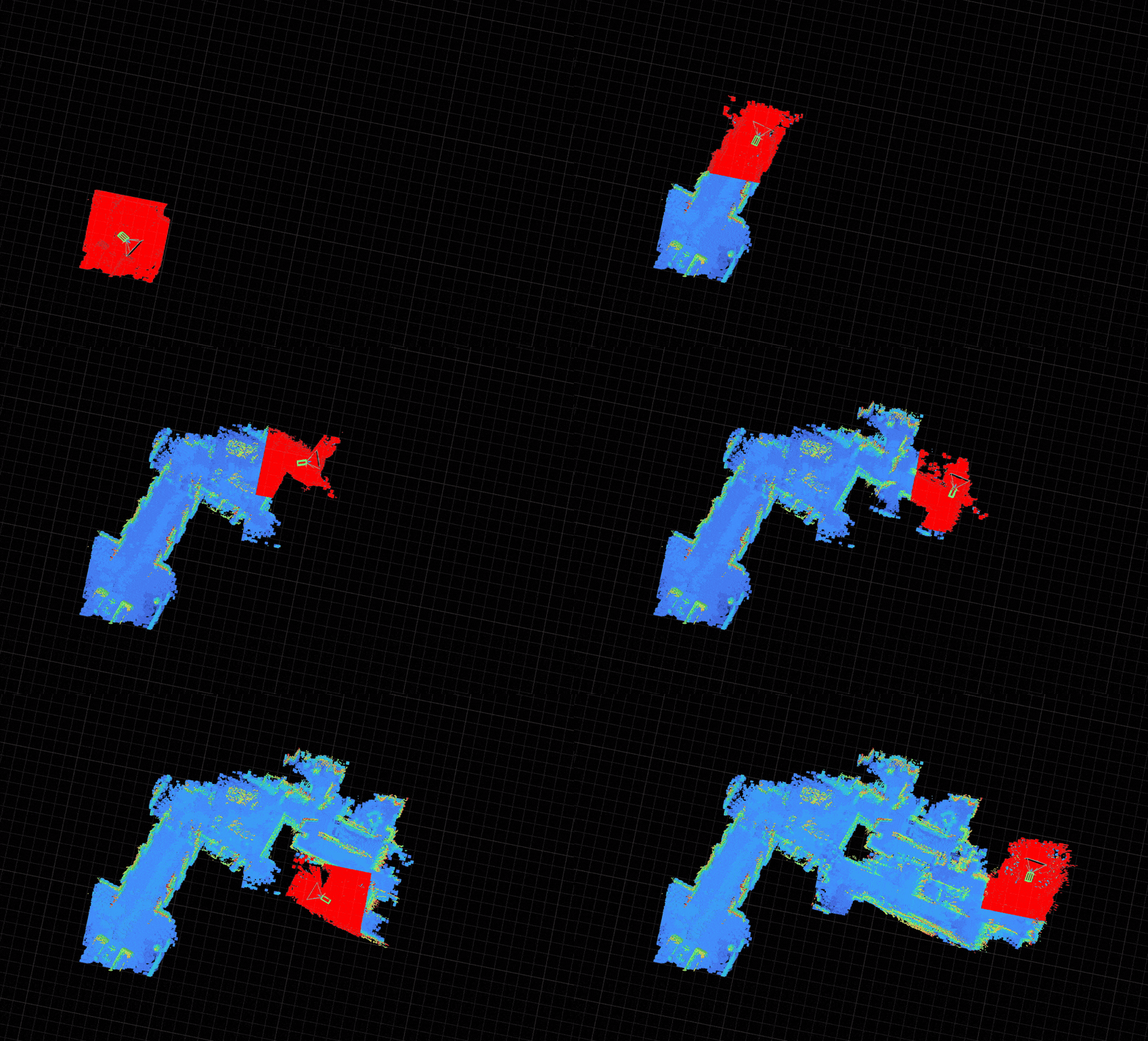
The Go2 navigation stack uses a simple column-carving voxel map strategy: each new LiDAR frame replaces the corresponding region of the global map entirely, ensuring the map always reflects the latest observations. Map live as you drive, or return to a known space using a saved premap and relocalization.
| Workflow | When to use | Blueprint | Docs |
|---|---|---|---|
| Live mapping | Explore a new space where the map updates every frame | unitree-go2 |
Navigation deep dive |
| Premap + relocalization | Return to a known space and plan on a loop-closed map | unitree-go2-relocalization |
Relocalization |
Live column-carving maps are fast and reactive, but odometry drifts over long distances. For spaces you revisit, record once, run pose-graph optimization (PGO) offline, then relocalize against the exported premap at runtime.
For hardware setup, simulation, and the full blueprint list, see the Go2 platform guide.